
Advanced Search for Maps
Showing 141-141 of 141
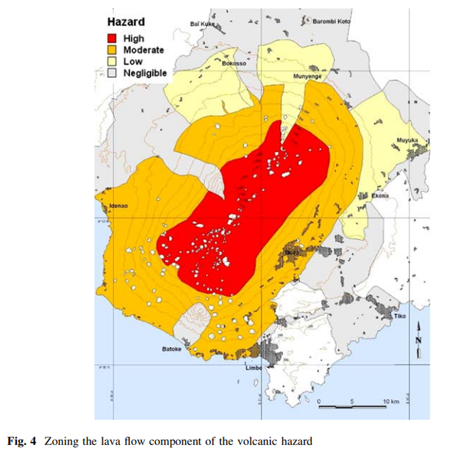
Figure in a journal article
Zoning the lava flow component of the volcanic hazard
Figure 4 in: Thierry, P., Stieltjes, L., Kouokam, E., Nguéya, P., & Salley, P. M. (2008). Multi-hazard risk mapping and assessment on an active volcano: the GRINP project at Mount Cameroon. Natural Hazards, 45(3), 429-456. https://doi.org/10.1007/s11069-007-9177-3