
Advanced Search for Maps
Showing 21-23 of 23
Official, Insert/poster-size map with accompanying report
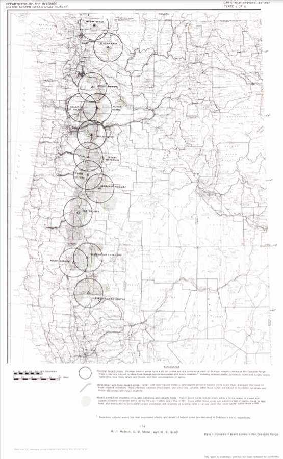
Volcanic-hazard zones in the Cascades Range
Plate 1 in: Hoblitt, R. P., Miller, C. D., & Scott, W. E. (1987). Volcanic hazards with regard to siting nuclear-power plants in the Pacific Northwest. U.S. Geological Survey, Open-File Report 87-297. https://doi.org/10.3133/ofr87297
Official, Interactive web-based map
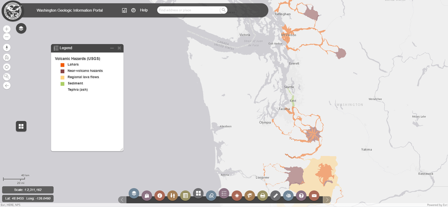
Washington Geologic Information Portal - Volcanic Hazards (USGS)
Washington Department of Natural Resources. Geologic Information Portal.
Official, Insert/poster-size map with accompanying report
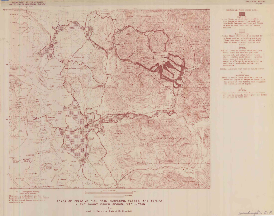
Zones of relative risk from mudflows, floods, and tephra, in the Mount Baker region, Washington
Plate 1 in: Hyde, J.H. & Crandell, D.R. (1975). Origin and age of postglacial deposits and assessment of potential hazards from future eruptions of Mount Baker, Washington. U.S. Geological Survey, Open-File Report 75-286, 22 p. https://doi.org/10.3133/ofr75286