
Advanced Search for Maps
Showing 21-24 of 24
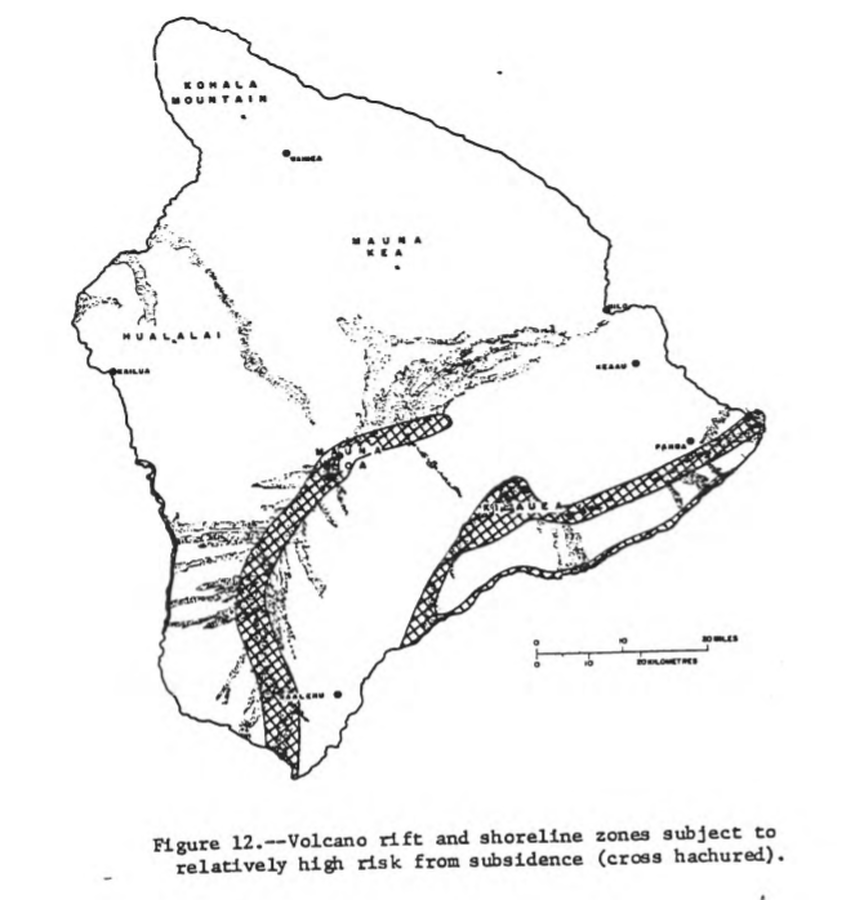
Official, Figure in hazard assessment
Volcano rift and shoreline zones subject to relatively high risk from subsidence (cross hachured)
Figure 12 in: Mullineaux, D.R. & Peterson, D.W. (1974). Volcanic hazards on the Island of Hawaii. U.S. Geological Survey, Open-File Report 74-239. https://doi.org/10.3133/ofr74239
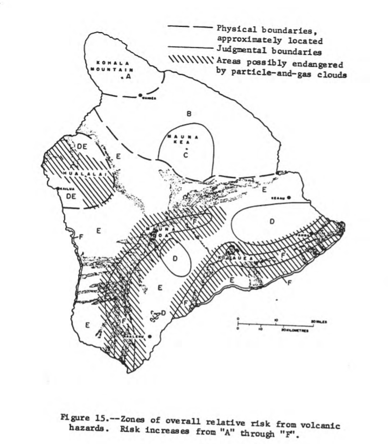
Official, Figure in hazard assessment
Zones of overall relative risk from volcanic hazards. Risk increases from "A" through "F"
Figure 15 in: Mullineaux, D.R. & Peterson, D.W. (1974). Volcanic hazards on the Island of Hawaii. U.S. Geological Survey, Open-File Report 74-239. https://doi.org/10.3133/ofr74239
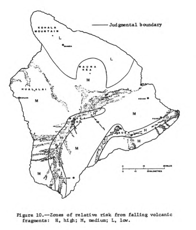
Official, Figure in hazard assessment
Zones of relative risk from falling volcanic fragments
Figure 10 in: Mullineaux, D.R. & Peterson, D.W. (1974). Volcanic hazards on the Island of Hawaii. U.S. Geological Survey, Open-File Report 74-239. https://doi.org/10.3133/ofr74239

Official, Figure in hazard assessment
Zones of relative risk from lava-flow burial
Figure 9 in: Mullineaux, D.R. & Peterson, D.W. (1974). Volcanic hazards on the Island of Hawaii. U.S. Geological Survey, Open-File Report 74-239. https://doi.org/10.3133/ofr74239