Advanced Search for Maps
Showing 1-1 of 1

Official, Insert/poster-size map with accompanying report
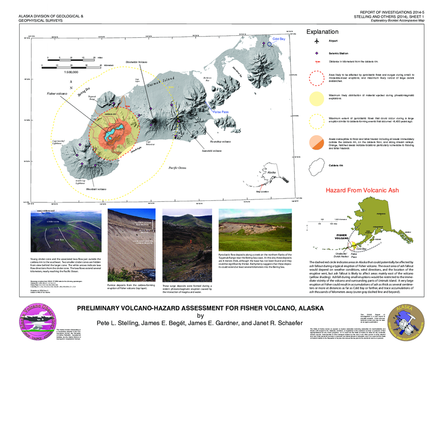
Preliminary Volcano-Hazard Assessment for Fisher Volcano, Alaska
Sheet 1 in: Stelling, P.L., Beget, J.E., Gardner, J.E., & Schaefer, J.R. (2014). Preliminary volcano-hazard assessment for Fisher volcano, Unimak Island, Alaska: Alaska Division of Geological & Geophysical Surveys, Report of Investigation 2014-5, 32 p., 1 sheet, scale 1:500,000. http://doi.org/10.14509/29146
