Advanced Search for Maps
Showing 1-3 of 3

Official, Insert/poster-size map with accompanying report
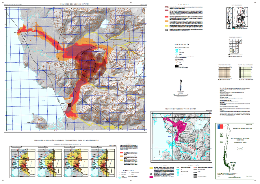
Peligros del Volcán Chaitén
(Hazards of Chaitén Volcano)
Amigo, A., Lara, L.E., & Bertin, D. (2015). Peligros del volcán Chaitén, Región de Los Lagos. Servicio Nacional de Geología y Minería (SERNAGEOMIN), Carta Geológica de Chile, Serie Geología Ambiental 24, 1 mapa escala 1:50.000. Santiago.

Official, Map sheet or poster
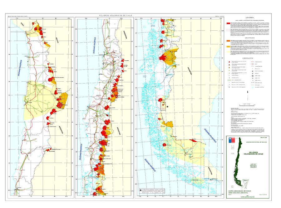
Peligros Volcanicos de Chile
(Volcanic Hazards of Chile)
Lara, L.E., Orozco G., Amigo A. & Silva C. (2011). Peligros Volcanicos de Chile. Servicio Nacional de Geología y Minería (SERNAGEOMIN), Carte Geologica de Chile, Serie Geologia Ambiental, No. 13: 34 p., 1 mapa escala 1:2.000.000. Santiago.

Official, Map sheet or poster
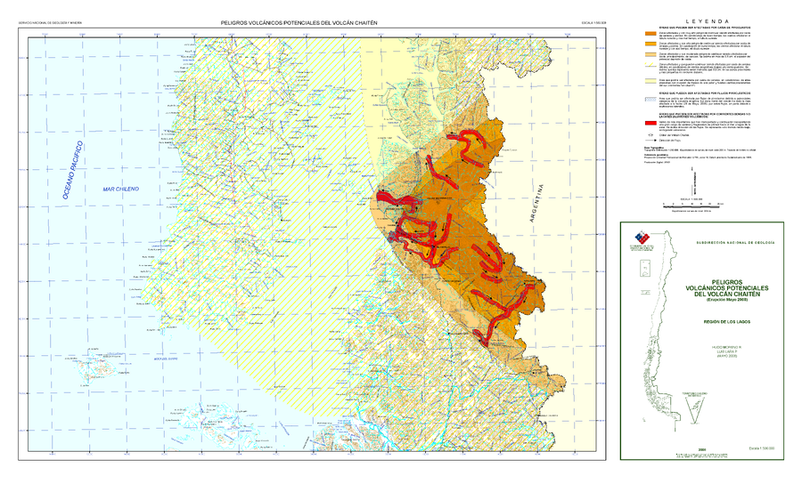
Peligros Volcánicos Potenciales del Volcán Chaitén (Erupción Mayo 2008)
(Potential Volcanic Hazards of Chaitén Volcano (Eruption May 2008))
Moreno, H. & Lara, L. (2008). Peligros Volcánicos Potenciales del Volcán Chaitén (Eruptión Mayo 2008), Región de los Lagos. Servicio Nacional de Geología y Minería (SERNAGEOMIN), mapa escala 1:500,000. Santiago.
