Advanced Search for Maps
Showing 1-2 of 2

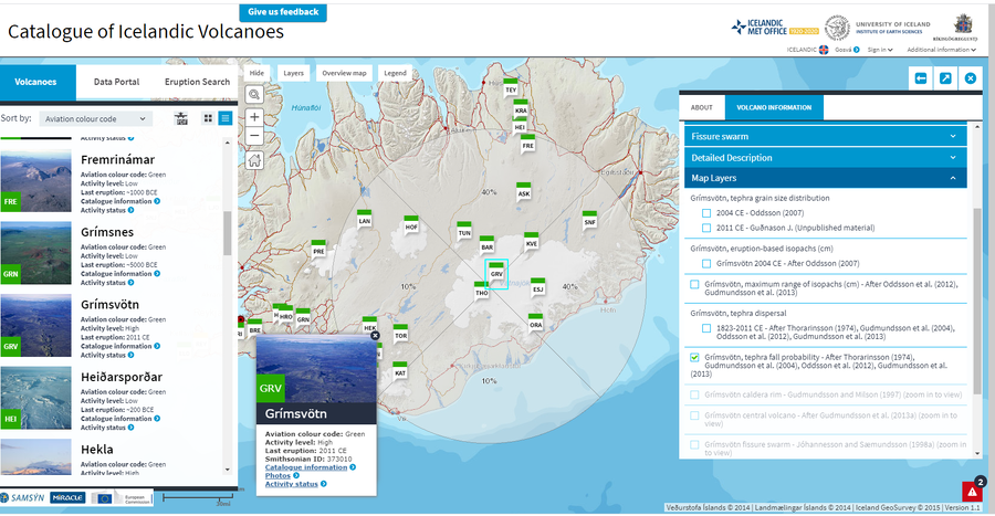
Official, Interactive web-based map
Grímsvötn, tephra fall probability - After Thorarinsson (1974), Gudmundsson et al. (2004), Oddsson et al. (2012), Gudmundsson et al. (2013)
Guðmundsson, M.T. & Larsen, G. (2019). Grímsvötn. In: Oladottir, B., Larsen, G. & Guðmundsson, M. T. Catalogue of Icelandic Volcanoes. Iceland Meteorological Office (IMO), Univeristy of Iceland, and Civil Protection Department of the National Commissioner of the Iceland Police (CPD-NCIP). (Simplified from: Thorarinsson 1974, Gudmundsson et al. 2004, Oddsson et al. 2012, Gudmundsson et al. 2013)

Official, Figure on website
Tephra fall probabilities based on 10 historical Grímsvötn eruptions
Guðmundsson, M.T. & Larsen, G. (2019). Grímsvötn. In: Oladottir, B., Larsen, G. & Guðmundsson, M. T. Catalogue of Icelandic Volcanoes. Iceland Meteorological Office (IMO), Univeristy of Iceland, and Civil Protection Department of the National Commissioner of the Iceland Police (CPD-NCIP). https://icelandicvolcanos.is//index.html (Simplified from: Thorarinsson 1974, Gudmundsson et al. 2004, Oddsson et al. 2012, Gudmundsson et al. 2013)
