
Advanced Search for Maps
Showing 1141-1150 of 2217

Official, Flyer, brochure, short fact-sheet, or handout
Meakandake Volcanic Alert Levels
Japan Meteorological Agency. (2018). Meakandake Volcanic Alert Levels. Volcano Monitoring and Warning Center, Volcano Division, Earthquake and Volcano Department.
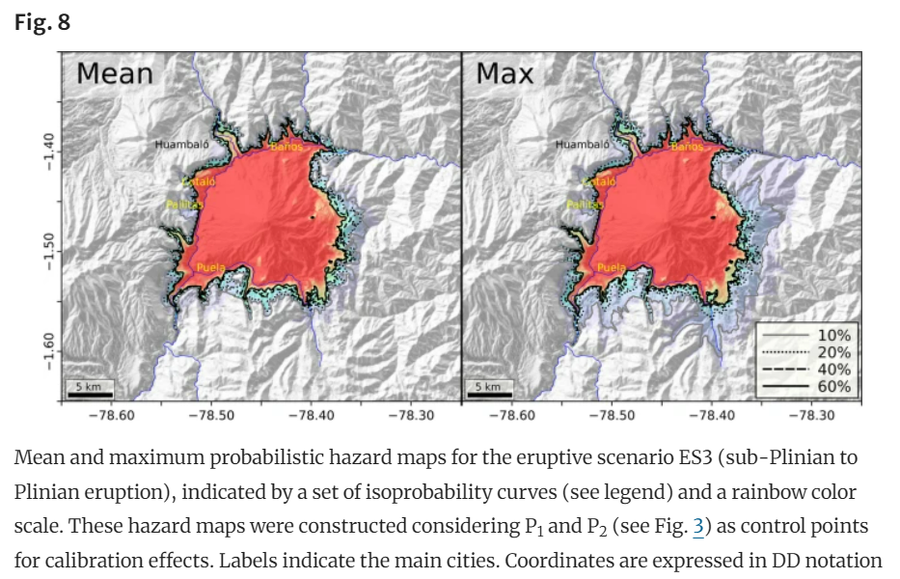
Figure in a journal article
Mean and maximum probabilistic hazard maps for the eruptive scenario ES3 (sub-Plinian to Plinian eruption)
Figure 8 in: Aravena, A., Tadini, A., Bevilacqua, A. et al. Probabilistic, scenario-based hazard assessment for pyroclastic density currents at Tungurahua volcano, Ecuador. (2024). Bulletin of Volcanology 86, 84. https://doi.org/10.1007/s00445-024-01768-y
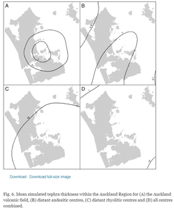
Figure in a journal article
Mean simulated tephra thickness within the Auckland Region
Figure 6 in: Magill, C. R., Hurst, A. W., Hunter, L. J., & Blong, R. J. (2006). Probabilistic tephra fall simulation for the Auckland Region, New Zealand. Journal of volcanology and geothermal research, 153(3-4), 370-386. https://doi.org/10.1016/j.jvolgeores.2005.12.002
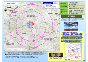
Official, Map in a booklet, long fact-sheet, or handbook
Medium-scale eruption (assuming hundreds of millions of cubic meters of magma eruption) pyroclastic fall
Page 11 in: Towada Volcanic Hazards Mitigation Committee. (2018). Towada Volcano Hazard Expected Impact Area Map. Omori Prefecture Disaster Risk Management Division, Akita Prefecture Disaster Prevention Division, Nagano City General Affairs Division, Kosaka Town General Affairs Division.
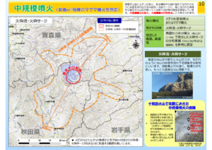
Official, Map in a booklet, long fact-sheet, or handbook
Medium-scale eruption (assuming hundreds of millions of cubic meters of magma eruption) pyroclastic flow/pyroclastic surge
Page 10 in: Towada Volcanic Hazards Mitigation Committee. (2018). Towada Volcano Hazard Expected Impact Area Map. Omori Prefecture Disaster Risk Management Division, Akita Prefecture Disaster Prevention Division, Nagano City General Affairs Division, Kosaka Town General Affairs Division.
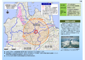
Official, Map in a booklet, long fact-sheet, or handbook
Melting snow-type volcanic flow (assumed to occur during a large-scale eruption during the snow season)
Page 14 in: Towada Volcanic Hazards Mitigation Committee. (2018). Towada Volcano Hazard Expected Impact Area Map. Omori Prefecture Disaster Risk Management Division, Akita Prefecture Disaster Prevention Division, Nagano City General Affairs Division, Kosaka Town General Affairs Division.
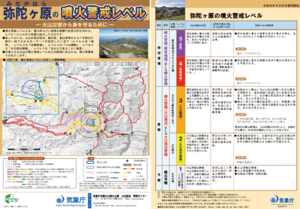
Official, Flyer, brochure, short fact-sheet, or handout
Midagahara Volcanic Alert Levels
Japan Meteorological Agency. (2019). Midagahara Volcanic Alert Levels. Volcano Monitoring and Warning Center, Volcano Division, Earthquake and Volcano Department.
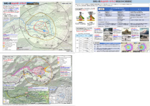
Official, Map sheet or poster
Midagahara Volcanic Hazard Map
Midagahara Volcano Disaster Prevention Council. (2018). Midagahara Volcanic Hazard Map. Toyama Prefecture Disaster Prevention Crisis and Science Division.
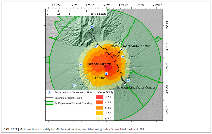
Figure in a journal article
Minimum factor of safety for Mt. Taranaki edifice
Figure 9 in: Mead, S., Procter, J., Bebbington, M., & Rodriguez-Gomez, C. (2022). Probabilistic Volcanic Hazard Assessment for National Park Infrastructure Proximal to Taranaki Volcano (New Zealand). Frontiers in Earth Science, 435. https://doi.org/10.3389/feart.2022.832531
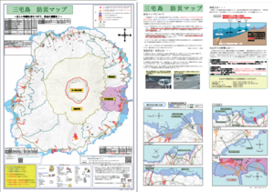
Official, Map sheet or poster
Miyakejima Disaster Prevention Map
Myake Village. (2012). Miyakejima Disaster Prevention Map.