
Advanced Search for Maps
Showing 251-252 of 252
Official, Figure in hazard assessment
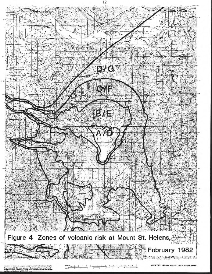
Zones of volcanic risk at Mount St. Helens February 1982
Figure 4 in: Newhall, C.G. (1982). A method for estimating intermediate- and long-term risks from volcanic activity, with an example from Mount St. Helens, Washington. U.S. Geological Survey, Open-File Report 82-396, 59 p. doi: 10.3133/ofr82396
Official, Figure in hazard assessment
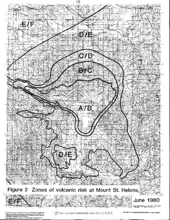
Zones of volcanic risk at Mount St. Helens June 1980
Figure 2 in: Newhall, C.G. (1982). A method for estimating intermediate- and long-term risks from volcanic activity, with an example from Mount St. Helens, Washington. U.S. Geological Survey, Open-File Report 82-396, 59 p. doi: 10.3133/ofr82396