
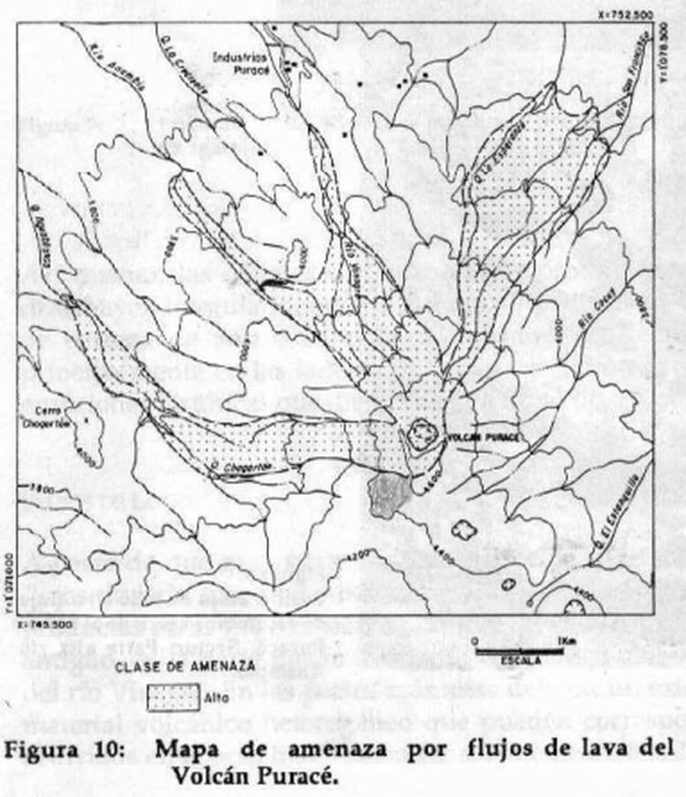
Mapa de amenaza por flujos de lava del Volcán Puracé
Puracé Volcano lava flow hazard map
Puracé, Colombia, 1993
Figure 10 in: Monsalve, M.L. & Pulgarin, B.A. (1993). Mapa Preliminar de Amenaza Volcanica Potencial del Volcan Purace. Revista Instituto Colombiano de Geología y Minería (INGEOMINAS), 2
This map was produced by an official agency, but is NOT the most recent, most complete, or main operational map.
For the current operational hazard map, please consult the proper institutional authorities.
Click on image for full-size map. If link seems broken, try the archived version.
Monsalve, M.L. & Pulgarin, B.A. (1993). Mapa Preliminar de Amenaza Volcanica Potencial del Volcan Purace. Revista INGEOMINAS, 2 Map Set
https://www2.sgc.gov.co/sgc/volcanes/VolcanPurace/Documents/Memoria%20mapa%20de%20amenaza%20Volcan%20Purace%20V.1.pdf
Other Maps In Set: