
← Back to Search Results

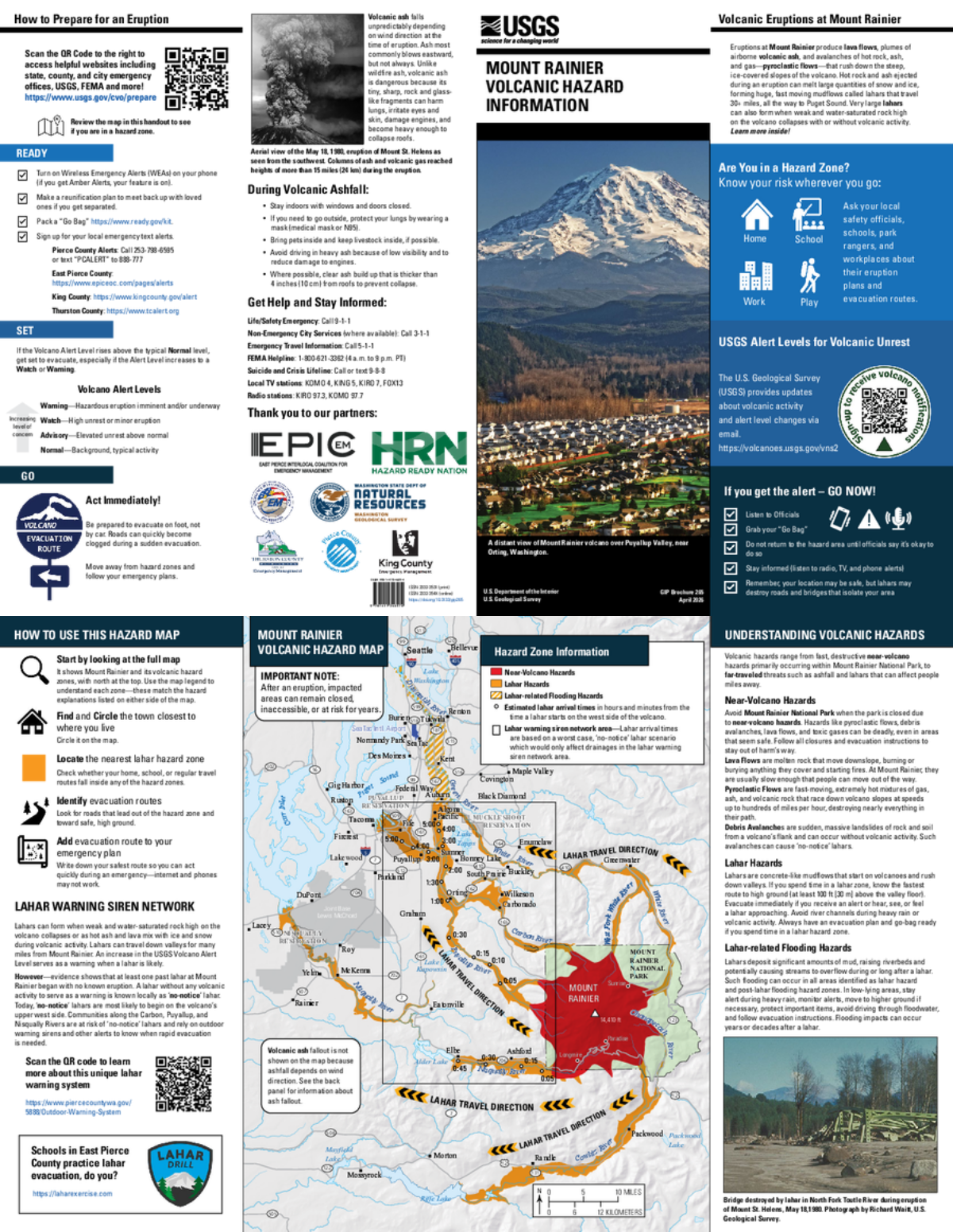
Mount Rainier Volcanic Hazard Map

Rainier, United States, 2026

Weiss-Racine, H.F., Bard, J.A., Ball, J.L, and Mastin, C.L. (2026). Mount Rainier volcanic hazard information. U.S. Geological Survey General Information Product 265, https://doi.org/10.3133/gip265.


This map was produced by an official agency, but may not be the most recent, most complete, or main operational map. For the current operational hazard map, please consult the proper institutional authorities.
If link seems broken, try the archived version.

Map Data

Map ID4370
Hazard Process(es)Debris avalanches; Floods or jokulhaups; Gas; Lahars; Lava flows; PDCs; Proximal hazards
Hazard Zone PresentationGrouped by location (e.g. proximal/distal zones) on a main map panel
Temporal ScaleBackground, or long-term, map
Spatial ScaleVolcano and surrounding area
Publication FormatFlyer, brochure, short fact-sheet, infographic, or handout
Zonation Method(s)Derived/simplified from another map
Zonation Model(s)
Scenario(s) ConsideredSize, VEI, or intensity
Hazard Zone Label(s)Hazard process name
Probability Definition(s)No probability definition was discernable from the map
PurposeHazard awareness: Intended for educating the audience about the extent and probability of volcanic hazard
AudienceGeneral public and/or media
Language(s)English
Basemap(s)Hillshade
Basemap overlay(s)Administrative boundaries (e.g. county, park, intl.); Inhabited areas; Street map
DiemsionalityPlanimetric (2D or map) view
Color SchemeRed to Yellow
Volcanic Alert Level System
Go to Global Volcanism Program page for Rainier →