
Advanced Search for Maps
Showing 1-1 of 1
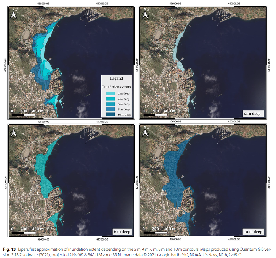
Figure in a journal article
Lipari: first approximation of inundation extent depending on the 2 m, 4 m, 6 m, 8 m and 10 m contours
Figure 13 in: Bonilauri, E. M., & Harris, A. J. (2026). Tsunami evacuation times and routes to safe zones II: a GIS-based approach applied to Vulcano and Lipari (Aeolian Islands, Italy) to assess escape route challenges for low-lying harbour areas. Journal of Applied Volcanology, 15(1), 5.