
Advanced Search for Maps
Showing 1-2 of 2
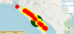
Official, Interactive web-based map
Mapa de Vulnerabilidades y Peligro ante Volcanes
(Map of Vulnerabilities and Danger from Volcanoes)
Instituto Nicaraguense de Estudios Territoriales (INETER). Mapa de Vulnerabilidades y Peligro ante Volcanes. https://gestionderiesgo.ineter.gob.ni/IDE-VulnerabilidadVolcanica/index.html
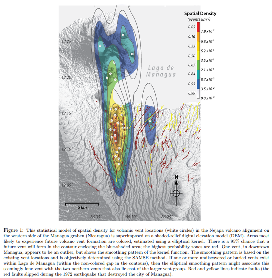
Figure in a journal article
This statistical model of spatial density for volcanic vent locations (white circles) in the Nejapa volcano alignment on the western side of the Managua graben (Nicaragua) is superimposed on a shaded-relief digital elevation model (DEM)
Figure 1 in: Connor, C. B., Connor, L. J., Germa, A., Richardson, J. A., Bebbington, M. S., Gallant, E., & Saballos, A. (2019). How to use kernel density estimation as a diagnostic and forecasting tool for distributed volcanic vents. Statistics in Volcanology, 4 (3). p. 1-25. http://dx.doi.org/10.5038/2163-338X.4.3