
Advanced Search for Maps
Showing 1-2 of 2
Official, Map sheet or poster
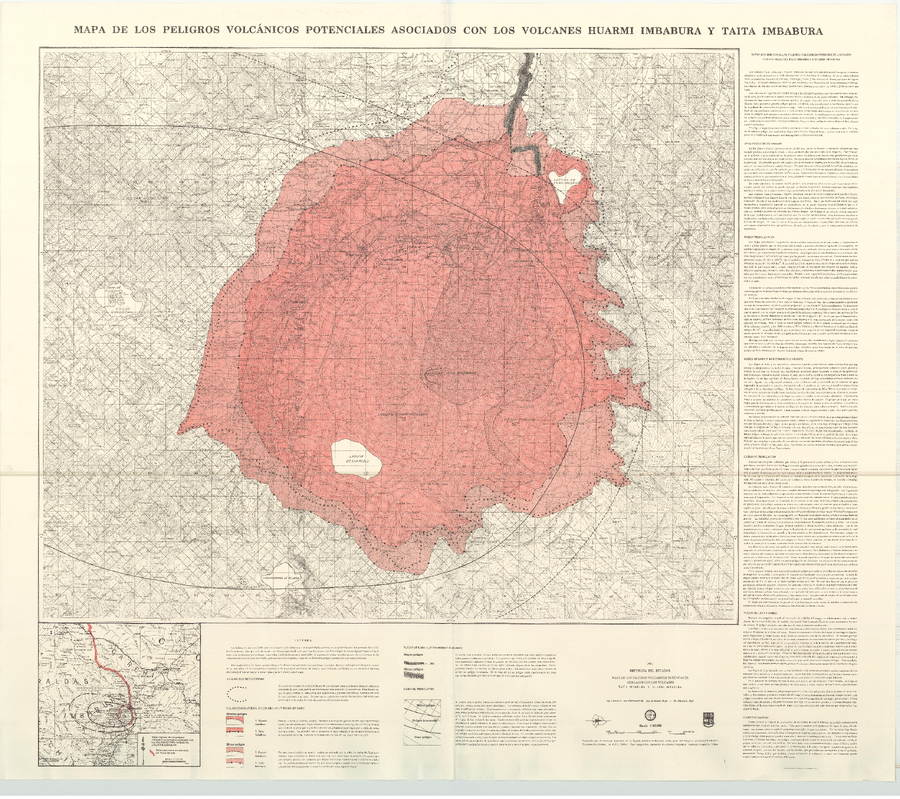
Mapa de los Peligros Volcánicos Potenciales Asociados con los Volcanes Huarmi Imbabura y Taita Imbabura
(Map of Potential Volcanic Hazards Associated with the Huarmi Imbabura and Taita Imbabura Volcanoes)
von Hillebrandt, C.G., Beate, B., & Hall, M.L. (1991). Mapa de los Peligros Volcánicos Potenciales Asociados con los Volcanes Huarmi Imbabura y Taita Imbabura. Instituto Geofisico de la Escuela Politecnica Nacional (IG-EPN), mapa escala 1:50.000.
Official, Map sheet or poster
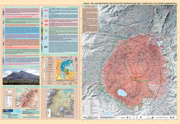
Mapa de los Peligros Volcánicos Potenciales del Complejo Volcánico Imbabura
(Map of the Potential Volcanic Hazards of the Imbabura Volcanic Complex)
Ruiz, G., Le Pennec, J.-L., Hall, M.L., Samaniego, P. (2005). Mapa de los Peligros Volcánicos Potenciales del Complejo Volcánico Imbabura. Instituto Geofisico de la Escuela Politecnica Nacional (IG-EPN) & Institut de Recherche pour le Développement (IRD), mapa escala 1:50.000. Quito.