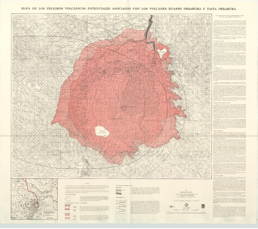
Mapa de los Peligros Volcánicos Potenciales Asociados con los Volcanes Huarmi Imbabura y Taita Imbabura
Map of Potential Volcanic Hazards Associated with the Huarmi Imbabura and Taita Imbabura Volcanoes
Huarmi Imbabura & Taita Imbabura (Imbabura), Ecuador, 1991
von Hillebrandt, C.G., Beate, B., & Hall, M.L. (1991). Mapa de los Peligros Volcánicos Potenciales Asociados con los Volcanes Huarmi Imbabura y Taita Imbabura. Instituto Geofisico de la Escuela Politecnica Nacional (IG-EPN), mapa escala 1:50.000.
This map was produced by an official agency, but is NOT the most recent, most complete, or main operational map.
For the current operational hazard map, please consult the proper institutional authorities.