
Advanced Search for Maps
Showing 121-130 of 2217
Official, Figure in hazard assessment
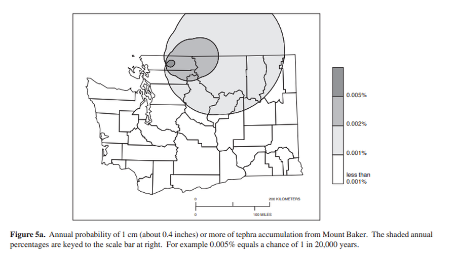
Annual probability of 1 cm (about 0.4 inches) or more of tephra from Mount Baker.
Figure 5a in: Gardner, C.A., Scott, K.M., Miller, C.D., Myers, B., Hildreth, W., & Pringle, P.T. (1995). Potential volcanic hazards from future activity of Mount Baker, Washington. U.S. Geological Survey, Open-File Report 95-498, 16 p., 1 plate, scale 1:100,000. https://doi.org/10.3133/ofr95498
Official, Figure in hazard assessment
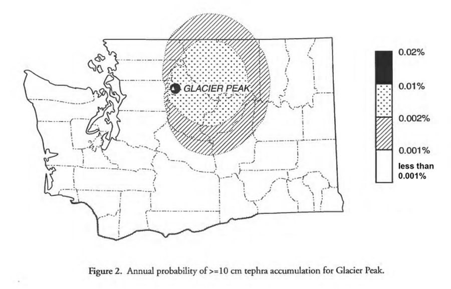
Annual probability of >=10 cm tephra accumulation for Glacier Peak
Figure 2 in: Waitt, R.B., Mastin, L.G., & Begét, J.E. (1995). Volcanic-Hazard Zonation for Glacier Peak Volcano, Washington. U.S. Geological Survey, Open-File Report 95-499, 9 p., 1 plate. https://doi.org/10.3133/ofr95499
Official, Figure in hazard assessment
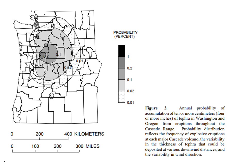
Annual probability of accumulation of ten or more centimeters (four or more inches) of tephra in Washington and Oregon from eruptions throughout the Cascade Range.
Figure 3 in: Wolfe, E.W. & Pierson, T.C. (1995). Volcanic-Hazard Zonation for Mount St. Helens, Washington, 1995. U.S. Geological Survey, Open-File Report 95-497, 12 p., 1 plate. https://doi.org/10.3133/ofr95497
Official, Flyer, brochure, short fact-sheet, or handout
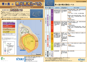
Aogashima Volcanic Alert Levels
Japan Meteorological Agency. (2018). Aogashima Volcanic Alert Levels. Volcano Monitoring and Warning Center, Volcano Division, Earthquake and Volcano Department.
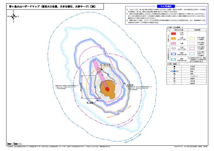
Official, Map sheet or poster
Aogashima volcanic hazard map (assumed crater position, volcanic blocks, pyroclastic surge)
Aogashima Volcano Disaster Prevention Council. (2017). Aogashima volcanic hazard map. Disaster Prevention Division, Bureau of General Affairs, Tokyo Metropolitan Government.
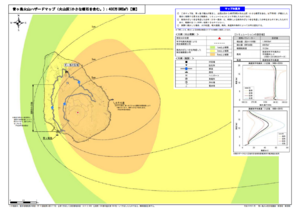
Official, Map sheet or poster
Aogashima volcano hazard map (volcanic ash (including volcanic lapilli): 4 million m³ DRE)
Aogashima Volcano Disaster Prevention Council. (2017). Aogashima volcanic hazard map. Disaster Prevention Division, Bureau of General Affairs, Tokyo Metropolitan Government.
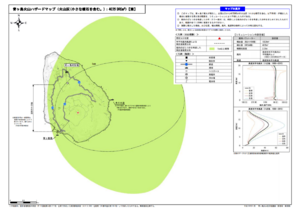
Official, Map sheet or poster
Aogashima volcano hazard map (volcanic ash (including volcanic lapilli): 400,000 m³ DRE)
Aogashima Volcano Disaster Prevention Council. (2017). Aogashima volcanic hazard map. Disaster Prevention Division, Bureau of General Affairs, Tokyo Metropolitan Government.
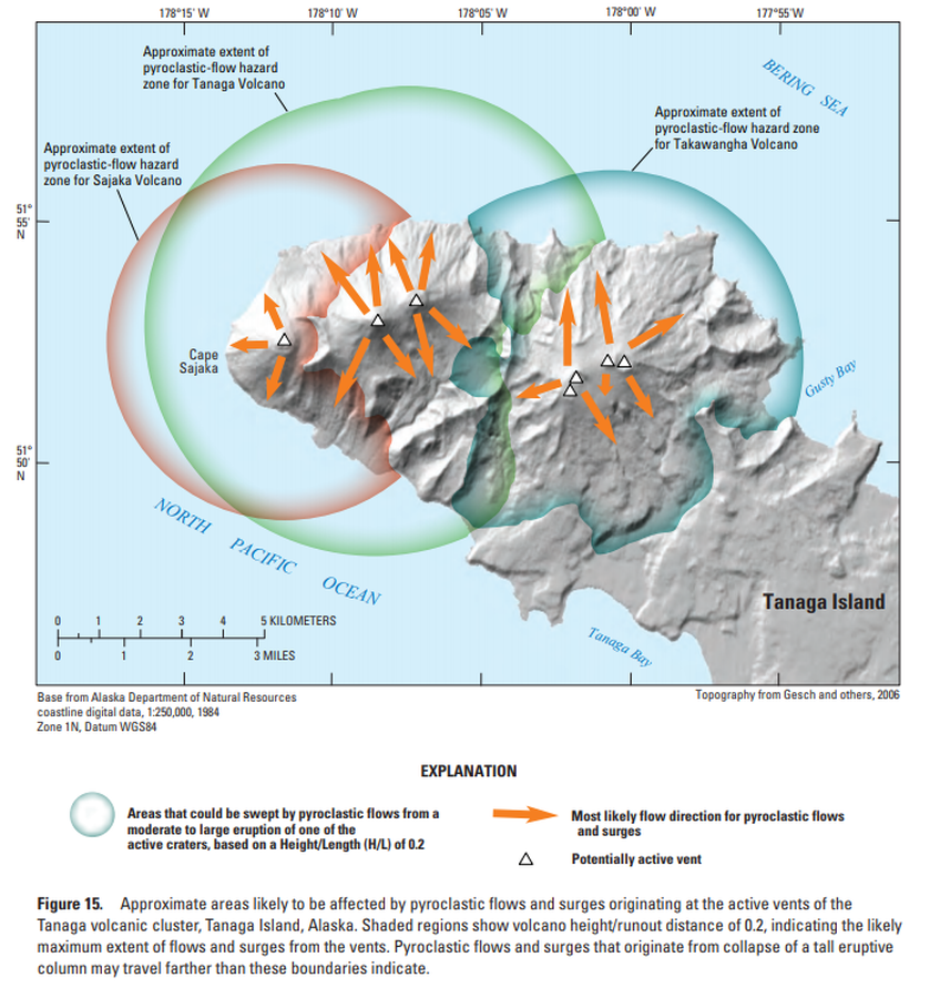
Official, Figure in hazard assessment
Approximate areas likely to be affected by pyroclastic flows and surges originating at the active vents of the Tanaga volcanic cluster, Tanaga Island, Alaska
Figure 15 in: Coombs, M.L., McGimsey, R.G. & Browne, B.L. (2007). Preliminary volcano-hazard assessment for the Tanaga volcanic cluster, Tanaga Island, Alaska. U.S. Geological Survey, Scientific Investigations Report 2007-5094, 41 p., 1 plate. https://doi.org/10.3133/sir20075094
Official, Figure in hazard assessment
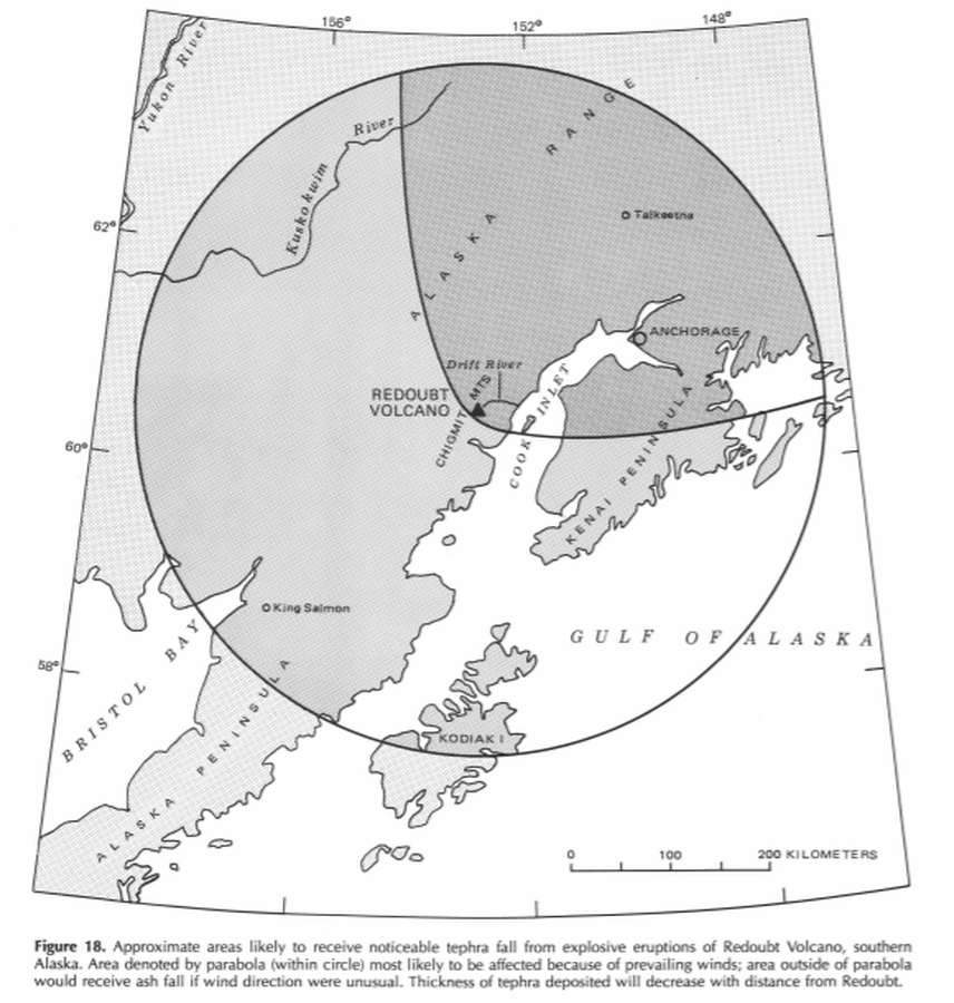
Approximate areas likely to receive noticeable tephra fall from explosive eruptions of Redoubt Volcano, southern Alaska
Figure 18 in: Till, A.B., Yount, M.E., & Riehle, J.R. (1993). Redoubt Volcano, southern Alaska; a hazard assessment based on eruptive activity through 1968. U.S. Geological Survey, Bulletin 1996, 19 p., 1 plate. https://doi.org/10.3133/b1996
Official, Figure in hazard assessment
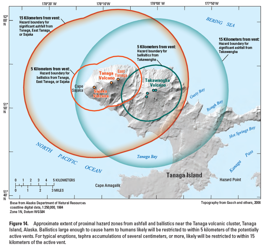
Approximate extent of proximal hazard zones from ashfall and ballistics near the Tanaga volcanic cluster, Tanaga Island, Alaska
Figure 14 in: Coombs, M.L., McGimsey, R.G. & Browne, B.L. (2007). Preliminary volcano-hazard assessment for the Tanaga volcanic cluster, Tanaga Island, Alaska. U.S. Geological Survey, Scientific Investigations Report 2007-5094, 41 p., 1 plate. https://doi.org/10.3133/sir20075094