← Back to Search Results

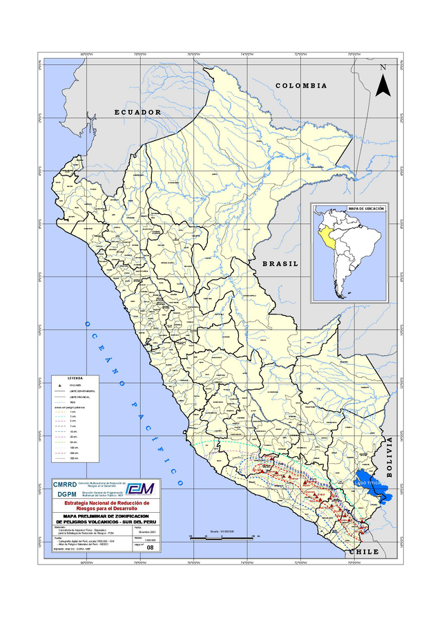
Mapa Preliminar de Zonificación de Peligros Volcanicos - Sur del Perú

Preliminary Map of Volcanic Hazards Zoning - Southern Peru

Southern Peru (regional), Chile-Peru, Peru, 2003

Comisión Multisectorial de Reducción de Riesgos en el Desarrollo (CMRRD) & Dirección General de Programación Multianual del Sector Público - MEF (DGPM) (2003). Mapa preliminar de zonificación de peligros volcánicos - Sur del Perú. Estrategía Nacional de Reducción de Riesgos para el Desarrollo. Escala 1:3000000


This map was produced by an official agency, but may not be the most recent, most complete, or main operational map. For the current operational hazard map, please consult the proper institutional authorities.


Click on image for full-size map. If link seems broken, try the archived version.

Map Data

Map ID1005
Hazard Process(es)Tephra fall
Hazard Zone PresentationSingle hazard: A single hazard process is represented on a main map panel
Temporal ScaleBackground, or long-term, map
Spatial ScaleRegional
Publication FormatMap sheet or poster
Zonation Method(s)Derived/simplified from another map
Zonation Model(s)
Scenario(s) ConsideredNo scenarios were discernable from the map
Hazard Zone Label(s)Estimated value or Hazard Impact Metric
Probability Definition(s)No probability definition was discernable from the map
PurposeLand-use planning: Intended to inform citing of facilities, building restrictions, resource management, and infrastructure development
AudienceMultiple audiences (usually the public, civil authorities, and land-use planners)
Language(s)Spanish
Basemap(s)Administrative boundaries (e.g. county, park, intl.)
Basemap overlay(s)
DiemsionalityPlanimetric (2D or map) view
Color SchemeCategorical/Qualitative