
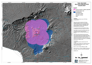
Taal Volcano Ballistic Projectiles Hazards Map
Taal, Philippines, 2011
Philippine Institute of Volcanology and Seismology (PHIVOLCS). (2011). Taal Volcano Ballistic Projectiles Hazards Map. Quezon City.
This map was produced by an official agency, but is NOT the most recent, most complete, or main operational map.
For the current operational hazard map, please consult the proper institutional authorities.
Click on thumbnail for full-size map. We do not have copyright permission to display the full-size image. If you are the copyright holder and wish to provide copyright, please contact us at admin@volcanichazardmaps.org.
Map Set
Philippine Institute of Volcanology and Seismology (PHIVOLCS). (2011). Taal Volcano Hazard Maps.
https://gisweb.phivolcs.dost.gov.ph/phivolcs_hazardmaps/04.%20Region%20IV-A/2%20Province/Batangas/Volcano/
Other Maps In Set: