← Back to Search Results

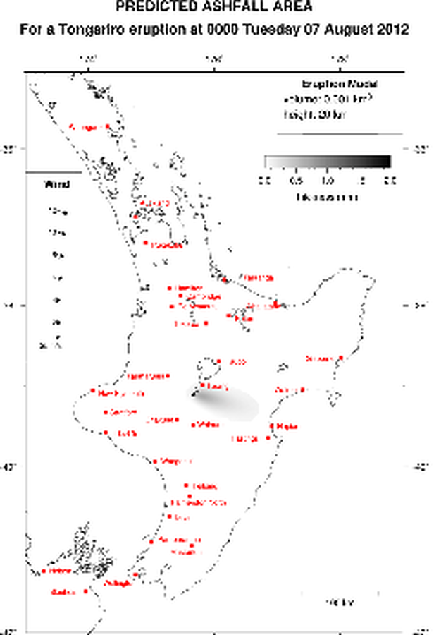
Predicted Ashfall Area for a Tongariro eruption at 0000 Tuesday 07 August 2012

Tongariro, New Zealand, 2012

GNS Science. (2012). Volcanic Alert Bulletin TON2012-06.


This map was produced by an official agency, but is NOT the most recent, most complete, or main operational map. For the current operational hazard map, please consult the proper institutional authorities.


Click on image for full-size map. If link seems broken, try the archived version.

Map Set

GNS Science. (2012). Volcanic Alert Bulletin TON2012-06 to TON2012-27.
https://www.geonet.org.nz/vabs/

Other Maps In Set:

Map Data

Map ID1649
Hazard Process(es)Tephra fall
Hazard Zone PresentationSingle hazard: A single hazard process is represented on a main map panel
Temporal ScaleCrisis, or short-term, map (hours to decades)
Spatial ScaleRegional
Publication FormatPart of an information statement, bulletin, or other alert product
Zonation Method(s)Scenario modeling
Zonation Model(s)ASHFALL (Hurst 1994)
Scenario(s) ConsideredCurrent conditions
Hazard Zone Label(s)Estimated value or Hazard Impact Metric
Probability Definition(s)No probability definition was discernable from the map
PurposeCrisis management and response: Intended to be used for managing, responding to, and taking action during an eruption; often includes evacuation routes, access restrictions, actions to take, etc.
AudienceMultiple audiences (usually the public, civil authorities, and land-use planners)
Language(s)English
Basemap(s)Simple or sketch map
Basemap overlay(s)
DiemsionalityPlanimetric (2D or map) view
Color SchemeDark to Light (greyscale)
Go to Global Volcanism Program page for Tongariro →