
Volcanic disaster prevention map of Mt. Kirishima
Kirishimayama, Japan, 2019
Volcano Disaster Management Councils of Mt. Kirishima (ED). (2019). Volcanic disaster prevention map of Mt. Kirishima. Volcano Disaster Management Councils of Mt. Kirishima, MLIT Miyazaki Office of River and National Highway, Sabo and Landslide Technical Center, Kan-Kirisima (Ebino City, Kirisima City, Kobayashi City, Soo City, Takaharu Town, Miyakonojo City and Yusui Town).
This map was produced by an official agency, but may not be the most recent, most complete, or main operational map.
For the current operational hazard map, please consult the proper institutional authorities.
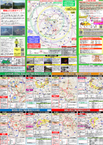
Click on thumbnail for full-size map. We do not have copyright permission to display the full-size image. If you are the copyright holder and wish to provide copyright, please contact us at admin@volcanichazardmaps.org. If link seems broken, try the archived version.
Volcano Disaster Management Councils of Mt. Kirishima (ED). (2019). Volcanic disaster prevention map of Mt. Kirishima. Volcano Disaster Management Councils of Mt. Kirishima, MLIT Miyazaki Office of River and National Highway, Sabo and Landslide Technical Center, Kan-Kirisima (Ebino City, Kirisima City, Kobayashi City, Soo City, Takaharu Town, Miyakonojo City and Yusui Town).Map Set
https://www.pref.miyazaki.lg.jp/kiki-kikikanri/kurashi/bosai/bousai-kikikanri/kazan_bousai_map.html