← Back to Search Results

Preliminary Overview Map of Volcanic Hazards in the 48 Coterminous United States

United States (regional), United States, 1978

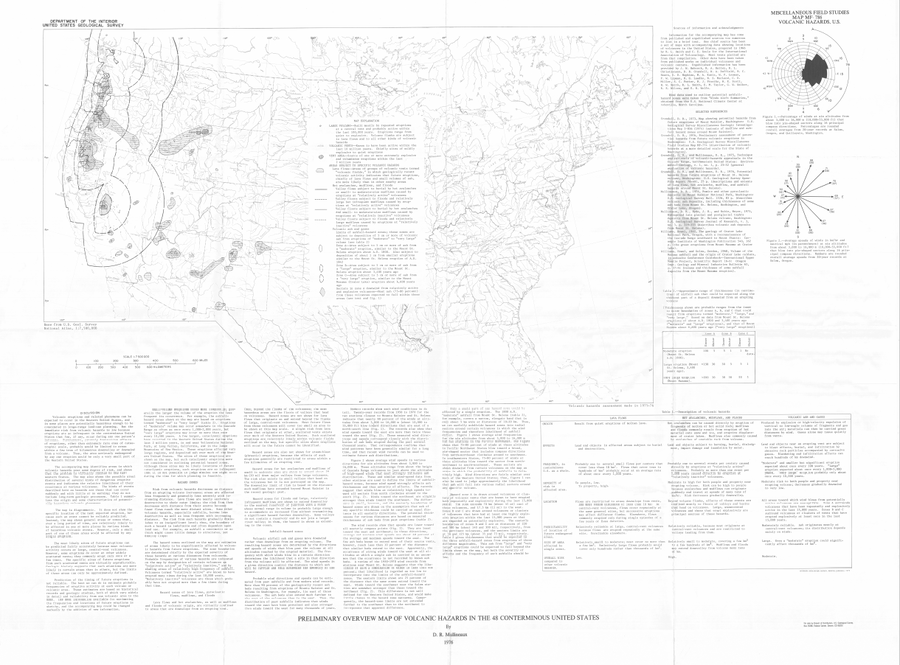
Mullineaux, D.R. (1978). Preliminary overview map of volcanic hazards in the 48 conterminous United States. U.S. Geological Survey, Miscellaneous Field Studies Map 786. https://doi.org/10.3133/mf786


This map was produced by an official agency, but is NOT the most recent, most complete, or main operational map. For the current operational hazard map, please consult the proper institutional authorities.


Click on image for full-size map. If link seems broken, try the archived version.

Map Data

Map ID3367
Hazard Process(es)Lava flows; Tephra fall; Vent-opening hazards
Hazard Zone PresentationHazard level-focused: All or most hazards are combined by hazard level on a main map panel
Temporal ScaleBackground, or long-term, map
Spatial ScaleRegional
Publication FormatMap sheet or poster
Zonation Method(s)Geologic history
Zonation Model(s)
Scenario(s) ConsideredNo scenarios were discernable from the map
Hazard Zone Label(s)Hazard process name
Probability Definition(s)No probability definition was discernable from the map
PurposeLand-use planning: Intended to inform citing of facilities, building restrictions, resource management, and infrastructure development
AudienceMultiple audiences (usually the public, civil authorities, and land-use planners)
Language(s)English
Basemap(s)Administrative boundaries (e.g. county, park, intl.)
Basemap overlay(s)
DiemsionalityPlanimetric (2D or map) view
Color SchemeSymbols and/or lines only