← Back to Search Results

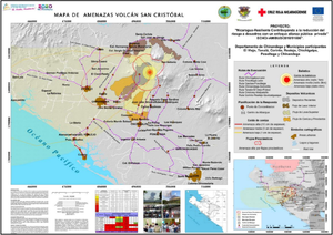
Mapa de Amenazas Volcán San Cristóbal

San Cristóbal Volcano Hazards Map

San Cristóbal, Nicaragua, 2019

Instituto Nicaragüense de Estudios Territoriales (INETER). (2019). Sismos y Volcanes de Nicaragua 2019. Boletín Sismológico, Vulcanológico y Geológico.


This map was produced by an official agency, but may not be the most recent, most complete, or main operational map. For the current operational hazard map, please consult the proper institutional authorities.


Click on thumbnail for full-size map. We do not have copyright permission to display the full-size image. If you are the copyright holder and wish to provide copyright, please contact us at admin@volcanichazardmaps.org. If link seems broken, try the archived version.

Map Data

Map ID3409
Hazard Process(es)Ballistics; PDCs; Tephra fall
Hazard Zone PresentationHazard process-focused: Most hazard processes are separated by hazard process type on a main map panel
Temporal ScaleBackground, or long-term, map
Spatial ScaleVolcano and surrounding area
Publication FormatFigure in a hazard assessment or mitigation plan
Zonation Method(s)Geologic history
Zonation Model(s)
Scenario(s) ConsideredNo scenarios were discernable from the map
Hazard Zone Label(s)Hazard process name; Qualitative relative probability (e.g. high-medium-low)
Probability Definition(s)Qualitative relative probability (e.g. high-medium-low)
PurposeMultiple: intended for multiple purposes including general hazard awareness, planning, and crisis management
AudienceMultiple audiences (usually the public, civil authorities, and land-use planners)
Language(s)Spanish
Basemap(s)Hillshade
Basemap overlay(s)Street map
DiemsionalityPlanimetric (2D or map) view
Color SchemeRed to Yellow
Go to Global Volcanism Program page for San Cristóbal →