
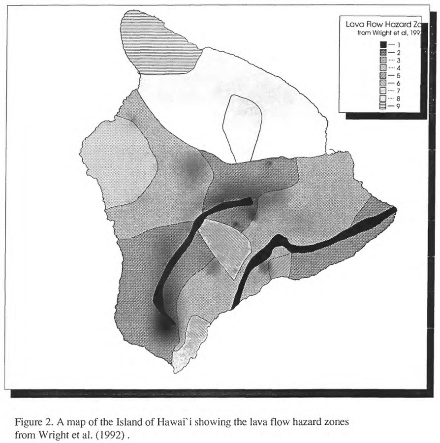
Lava Flow Hazard Zones
Hawai‘i (regional), United States, 1994
Figure 2 in: Kauahikaua, J. P., Moore, R. B., & Delaney, P. (1994). Volcanic activity and ground deformation hazard analysis for the Hawaii geothermal project environmental impact statement. US Geological Survey, Open File Report 94-553. 44 p. https://doi.org/10.3133/ofr94553 (Modified from: Wright et al. 1992)
This map was produced by an official agency, but is NOT the most recent, most complete, or main operational map.
For the current operational hazard map, please consult the proper institutional authorities.
Click on image for full-size map. If link seems broken, try the archived version.
Kauahikaua, J. P., Moore, R. B., & Delaney, P. (1994). Volcanic activity and ground deformation hazard analysis for the Hawaii geothermal project environmental impact statement. US Geological Survey, Open File Report 94-553. 44 p. https://doi.org/10.3133/ofr94553Map Set
https://doi.org/10.3133/ofr94553
Other Maps In Set: