
Zonage de L'Aléa "Mouvement de Terrain de Faible Ampleur" pour la période actuelle
Zoning of the "Low-Magnitude Land Movement" Hazard for the current period
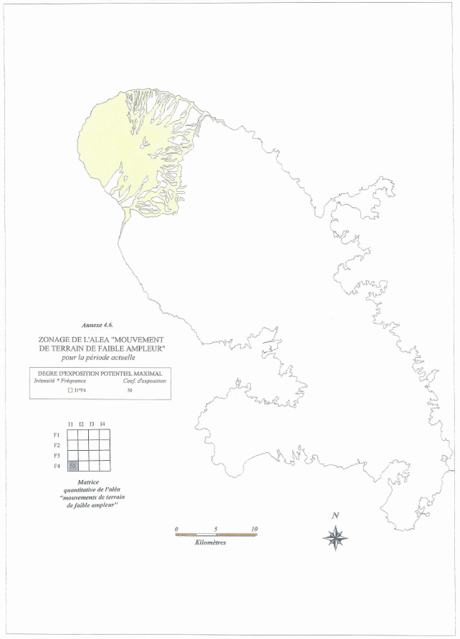
Pelée, Martinique [France], 1998
Annex 4.6 in: Stieltjes, L. & Mirgon, C. (1998). Approche méthodologique de la vulnérabilité aux phénomènes volcaniques. Test d’application sur les réseaux de la Martinique. Rapport de synthese. Rapport Bureau de Recherches Géologiques et Minières (BRGM), Marseille, R 40098. http://infoterre.brgm.fr/rapports/RR-40098-FR.pdf
This map was produced by an official agency, but is NOT the most recent, most complete, or main operational map.
For the current operational hazard map, please consult the proper institutional authorities.
Click on image for full-size map. If link seems broken, try the archived version.
Stieltjes, L. & Mirgon, C. (1998). Approche méthodologique de la vulnérabilité aux phénomènes volcaniques. Test d’application sur les réseaux de la Martinique. Rapport de synthese. Rapport Bureau de Recherches Géologiques et Minières (BRGM), Marseille, R 40098. http://infoterre.brgm.fr/rapports/RR-40098-FR.pdfMap Set
http://infoterre.brgm.fr/rapports/RR-40098-FR.pdf
Other Maps In Set: