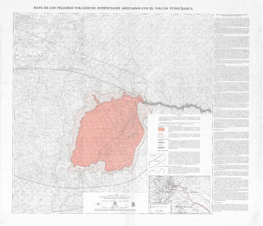
Mapa de los peligros volcánicos potenciales asociados con el Volcán Tungurahua
Map of the potential volcanic hazards associated with the Tungurahua volcano
Tungurahua, Ecuador, 1988
Hall, M.L., Beate, B., & von Hillebrandt, C.G. (1988). Mapa de los peligros volcánicos potenciales asociados con el volcán Tungurahua. Escala 1:50,000. Instituto Geofísico, Escuela Politécnica Nacional (IG-EPN), Quito, 1ra Edición.
This map was produced by an official agency, but is NOT the most recent, most complete, or main operational map.
For the current operational hazard map, please consult the proper institutional authorities.