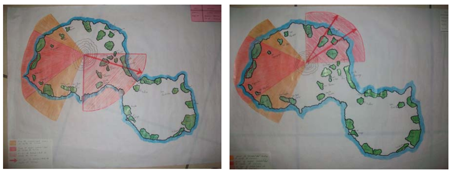
Amenaza por Caida de Ceniza en el Volcán Concepción
Threat due to Ash Fall in the Concepción Volcano
Concepción, Nicaragua, 2009
Obando, T. & Navarro, M. (2009). Propuestade Rutas de Evacuación ante peligros por Caída de Cenizas y Flujos Piroclásticos en la Isla de Ometepe (Rivas, Nicaragua). https://1library.co/document/y621ejgz-propuesta-evacuacion-peligros-caida-cenizas-piroclasticos-ometepe-nicaragua.html
This map may not be the most recent, most complete, or main operational map.
For the current operational hazard map, please consult the proper institutional authorities.

Click on image for full-size map. If link seems broken, try the archived version.
Obando, T., and Navarro, M. (2009). Propuestade Rutas de Evacuación ante peligros por Caída de Cenizas y Flujos Piroclásticos en la Isla de Ometepe (Rivas, Nicaragua). https://1library.co/document/y621ejgz-propuesta-evacuacion-peligros-caida-cenizas-piroclasticos-ometepe-nicaragua.htmlMap Set
https://www.monografias.com/trabajos-pdf4/rutas-evacuacion-peligros-caida-cenizas/rutas-evacuacion-peligros-caida-cenizas.pdf
Other Maps In Set:
