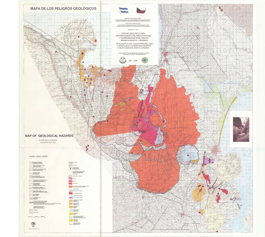
Mapa de los Peligros Geológicos
Map of Geological Hazards
Masaya, Nicaragua, 1998
Šebesta, J. (1998). Mapa de los Peligros Geológicos. In: Hradecký, P. (1998). Estudio Geológico para Reconocimiento del Riesgo Natural y Vulnerabilidad en el Area de Managua, Masaya y Granada. Servicio Geológico Checo en Colaboración con Instituto Nicaragüense de Estudios Territoriales, Prague.
This map may not be the most recent, most complete, or main operational map.
For the current operational hazard map, please consult the proper institutional authorities.