← Back to Search Results

Mapa de Peligros del Volcan Popocatepetl

Popocatepetl Volcano Hazard Map

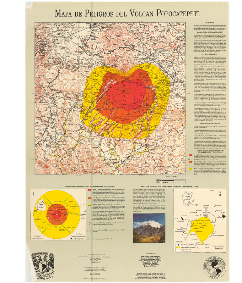
Popocatépetl, Mexico, 1995

Macías J.L., Carrasco, G., Delgado, H., Martin Del Pozzo, A.L., Siebe, C., Hoblitt, R.P., Sheridan, M.F., & Tilling, R.I. (1995). Mapa de Peligros del Volcan Popocatepetl. Instituto de Geofísica, UNAM, Coyoacán, Mexico.


This map was produced by an official agency, but is NOT the most recent, most complete, or main operational map. For the current operational hazard map, please consult the proper institutional authorities.

Map Set

Macías J.L., Carrasco, G. Siebe, C. (1995). Zonificación de peligros volcánicos del Popocatepetl. Capitulo III Riesgos y Mapeo.
http://cidbimena.desastres.hn/pdf/spa/doc8614/doc8614.htm

Other Maps In Set:

Map Data

Map ID3907
Hazard Process(es)Debris avalanches; Lahars; Lava flows; PDCs; Tephra fall
Hazard Zone PresentationGrouped by process (e.g. flowage/fall hazards) on a main map and series of insets
Temporal ScaleBackground, or long-term, map
Spatial ScaleVolcano and surrounding area
Publication FormatMap sheet or poster
Zonation Method(s)Geologic history; Scenario modeling
Zonation Model(s)Energy cone or line (Heim 1932; Sheridan 1979; Sheridan & Malin 1983)
Scenario(s) ConsideredSeason or weather; Size, VEI, or intensity; Specific past eruption
Hazard Zone Label(s)Estimated value or Hazard Impact Metric; Hazard process name; Qualitative relative probability (e.g. high-medium-low)
Probability Definition(s)Qualitative relative probability (e.g. high-medium-low)
PurposeMultiple: intended for multiple purposes including general hazard awareness, planning, and crisis management
AudienceMultiple audiences (usually the public, civil authorities, and land-use planners)
Language(s)Spanish
Basemap(s)Contour lines
Basemap overlay(s)Street map
DiemsionalityPlanimetric (2D or map) view
Color SchemeRed to Yellow
Go to Global Volcanism Program page for Popocatépetl →