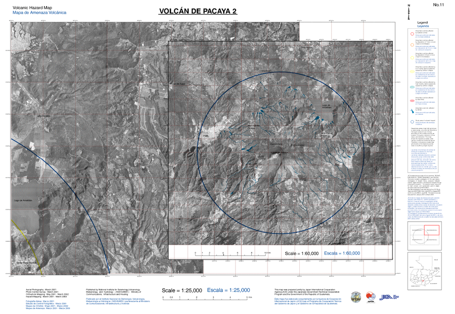
Volcán de Pacaya 2, Mapa de Amenaza Volcánica
Pacaya Volcano 2, Volcanic Hazard Map
Pacaya, Guatemala, 2021
8.2, 2 in: Coordinadora Nacional para la Reducción de Desastres (CONRED), Instituto Nacional de Sismología, Vulcanología, Meteorología e Hidrología (INSIVUMEH), Japan International Cooperation Agency (JICA). (2021). Protocolo Operativo por Actividad Efusiva del Volcán Pacaya. https://conred.gob.gt/documentos/planes/DRE_20210211_01_PROTOCOLO_OPERATIVO_POR_ACTIVIDAD_EFUSIVA_VOLCAN_PACAYA.pdf
This map was produced by an official agency, but may not be the most recent, most complete, or main operational map.
For the current operational hazard map, please consult the proper institutional authorities.

Click on thumbnail for full-size map. We do not have copyright permission to display the full-size image. If you are the copyright holder and wish to provide copyright, please contact us at admin@volcanichazardmaps.org. If link seems broken, try the archived version.
Coordinadora Nacional para la Reducción de Desastres (CONRED). (2021). Protocolo Operativo por Actividad Efusiva del Volcán Pacaya. https://conred.gob.gt/documentos/planes/DRE_20210211_01_PROTOCOLO_OPERATIVO_POR_ACTIVIDAD_EFUSIVA_VOLCAN_PACAYA.pdfMap Set
https://conred.gob.gt/documentos/planes/DRE_20210211_01_PROTOCOLO_OPERATIVO_POR_ACTIVIDAD_EFUSIVA_VOLCAN_PACAYA.pdf
Other Maps In Set:
Map Data
Map ID 4110 Hazard Process(es) Ballistics; Debris avalanches; Lava flows; Tephra fall Hazard Zone Presentation Hazard process-focused: Most hazard processes are separated by hazard process type on a main map and series of insets Temporal Scale Background, or long-term, map Spatial Scale Part of volcano (flank or drainage) Publication Format Figure in a hazard assessment or mitigation plan Zonation Method(s) Geologic history Zonation Model(s) Scenario(s) Considered Season or weather; Style or type Hazard Zone Label(s) Estimated value or Hazard Impact Metric; Hazard process name Probability Definition(s) No probability definition was discernable from the map Purpose Land-use planning: Intended to inform citing of facilities, building restrictions, resource management, and infrastructure development Audience Land-use planners, city planners, government officials, etc. Language(s) English; Spanish Basemap(s) Photograph Basemap overlay(s) Diemsionality Planimetric (2D or map) view Color Scheme Red to Blue
