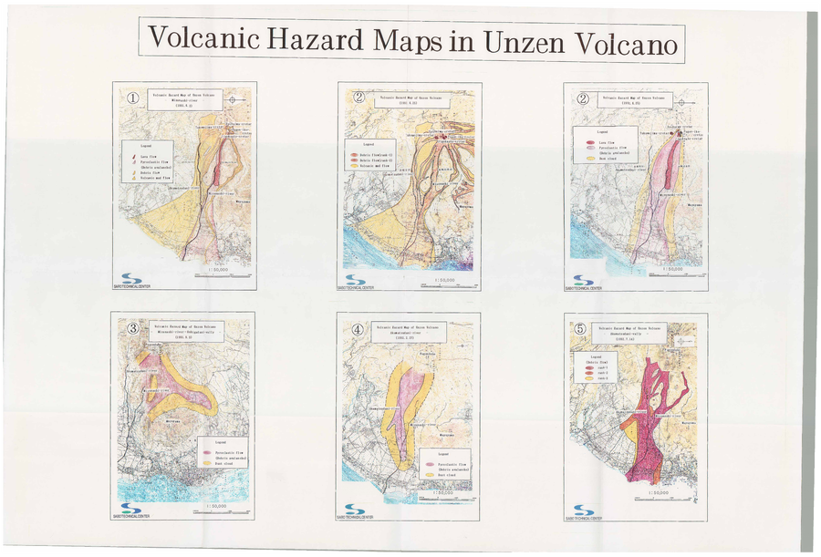
Volcanic Hazard Maps in Unzen Volcano
Unzendake, Japan, 1992
Sabo Technical Center. (1991-1992). Volcanic Hazard Maps in Unzen Volcano.
This map was produced by an official agency, but is NOT the most recent, most complete, or main operational map.
For the current operational hazard map, please consult the proper institutional authorities.