
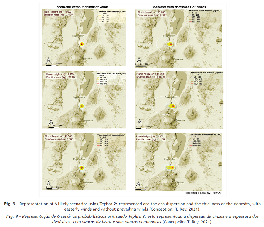
Representation of 6 likely scenarios using Tephra 2: represented are the ash dispersion and the thickness of the deposits, with easterly winds and without prevailing winds
Ol Doinyo Lengai, Tanzania, 2021
Figure 9 in: Rey, T., Leone, F., Defossez, S., Gherardi, M., & Parat, F. (2021). Volcanic hazards assessment of Ol Doinyo Lengai in a data scarcity context (Tanzania). Territorium, (28 (II)), 69-81.
This hazard map is the result of scientific research and was published in academic literature.
It is presented here to serve as an example of the map type or the map-making methodology. It is NOT the official, operational map. For the current operational hazard map, please consult the proper institutional authorities.
Click on image for full-size map. If link seems broken, try the archived version.
Rey, T., Leone, F., Defossez, S., Gherardi, M., & Parat, F. (2021). Volcanic hazards assessment of Ol Doinyo Lengai in a data scarcity context (Tanzania). Territorium, (28 (II)), 69-81.Map Set
https://doi.org/10.14195/1647-7723_28-2_6
Other Maps In Set: