
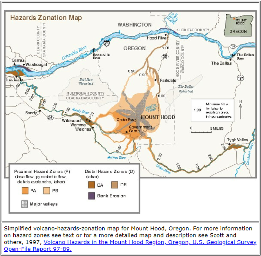
Hazards Zonation Map
Hood, United States, 2000
Gardner, C.A., Scott, W.E., Major, J.J., & Pierson, T.C. (2000). Hazards Zonation Map. Mount Hood—History and Hazards of Oregon's Most Recently Active Volcano. U.S. Geological Survey, Fact Sheet 060-00 (Online Version 1.0). https://doi.org/10.3133/fs06000
This map was produced by an official agency, but is NOT the most recent, most complete, or main operational map.
For the current operational hazard map, please consult the proper institutional authorities.
Click on image for full-size map. If link seems broken, try the archived version.