
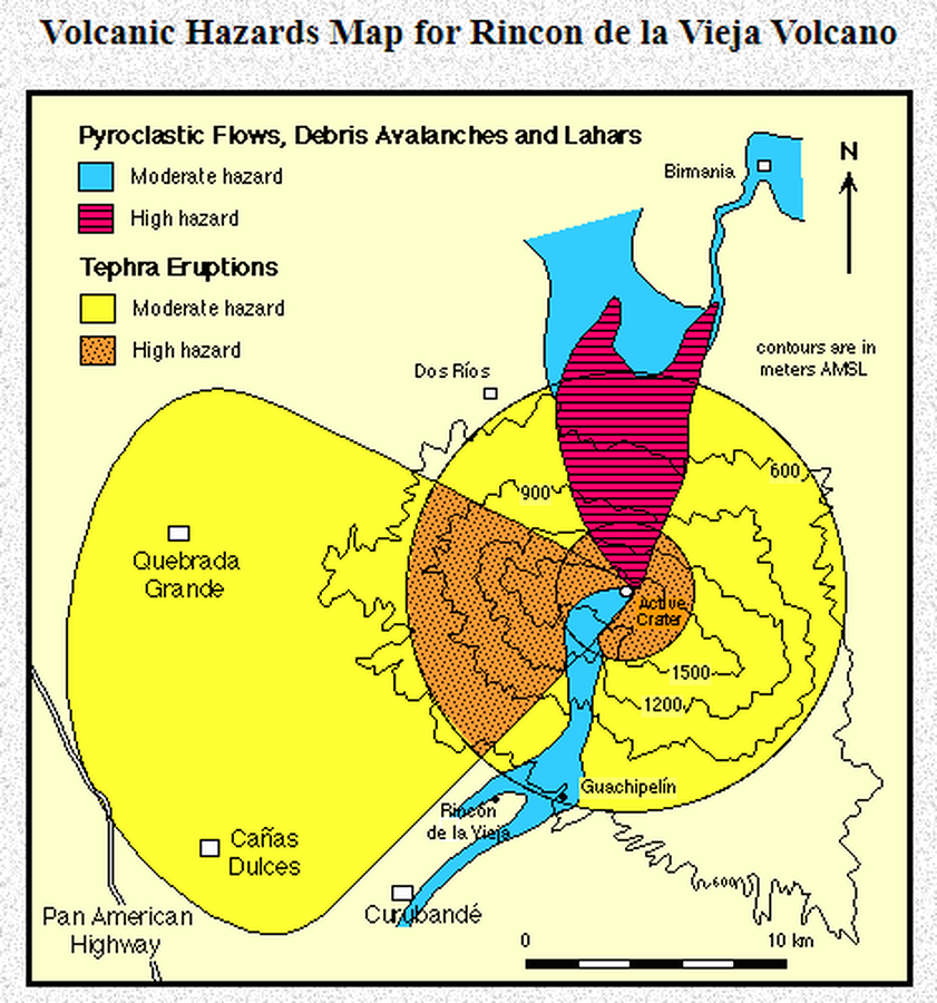
Volcanic Hazards Map for Rincon de la Vieja Volcano
Rincón de la Vieja, Costa Rica, 1996
Kempter, K. (1996). Volcanic Hazards Map for Rincon de la Vieja Volcano. University of Texas. Rincon de la Vieja Volcano, NW Costa Rica. A Geological and Pictorial Tour. https://www.geo.utexas.edu/faculty/barker/kempter/rincon.html
This map may not be the most recent, most complete, or main operational map.
For the current operational hazard map, please consult the proper institutional authorities.
Click on image for full-size map. If link seems broken, try the archived version.