← Back to Search Results

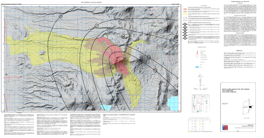
Peligros del Volcán Lascar

Hazards of Lascar Volcano

Lascar, Chile, 2011

Gardeweg, M. & Amigo, A. (2011). Mapa Preliminar de Peligros Volcánicos Volcán Láscar. Servicio Nacional de Geología y Minería (SERNAGEOMIN), mapa escala 1:50,000. Santiago.


This map was produced by an official agency, but is NOT the most recent, most complete, or main operational map. For the current operational hazard map, please consult the proper institutional authorities.

Map Data

Map ID740
Hazard Process(es)Ballistics; Lava flows; PDCs; Tephra fall
Hazard Zone PresentationGrouped by process (e.g. flowage/fall hazards) on a main map panel
Temporal ScaleBackground, or long-term, map
Spatial ScaleVolcano and surrounding area
Publication FormatMap sheet or poster
Zonation Method(s)Geologic history
Zonation Model(s)
Scenario(s) ConsideredSpecific past eruption
Hazard Zone Label(s)Estimated value or Hazard Impact Metric; Qualitative relative probability (e.g. high-medium-low)
Probability Definition(s)Qualitative relative probability (e.g. high-medium-low)
PurposeMultiple: intended for multiple purposes including general hazard awareness, planning, and crisis management
AudienceMultiple audiences (usually the public, civil authorities, and land-use planners)
Language(s)Spanish
Basemap(s)Hillshade
Basemap overlay(s)Street map
DiemsionalityPlanimetric (2D or map) view
Color SchemeRed to Yellow
Go to Global Volcanism Program page for Lascar →