
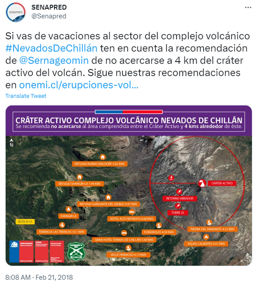
Cráter Activo Complejo Volcánico Nevados de Chillán
Nevados de Chillán Active Crater Complex
Nevados de Chillán, Chile, 2018
Servicio Nacional de Geología y Minería (SERNAGEOMIN) & Oficina Nacional de Emergencia del Ministerio del Interior y Seguridad Pública (ONEMI). (2018). Cráter Activo Complejo Volcánico Nevados de Chillán. Twitter. https://twitter.com/Senapred/status/966343871520215040
This map was produced by an official agency, but is NOT the most recent, most complete, or main operational map.
For the current operational hazard map, please consult the proper institutional authorities.
Click on image for full-size map. If link seems broken, try the archived version.