
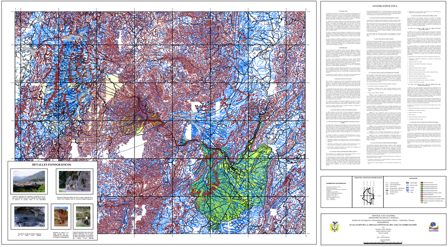
Evaluación de la Amenaza Potencial del Volcán Cerro Machín
Assessment of Potential Hazards of Cerro Machín Volcano
Machín, Colombia, 2002
Méndez, R.A., Cortés, G.P., & Cepeda, H. (2002). Evaluación de la Amenaza Potencial del Volcán Cerro Machín. Instituto de Investigación e Información Geocientífica, Minero - Ambiental y Nuclear (INGEOMINAS). mapa escala 1:150,213. Bogotá with accompanying text: INGEOMINAS (Instituto de Investigación e Información Geocientífica, Minero, Ambiental Y Nuclear). (2003) Memoria explicativa del Mapa de Amenaza Volcánica del Cerro Machín. Bogotá.
This map was produced by an official agency, but may not be the most recent, most complete, or main operational map.
For the current operational hazard map, please consult the proper institutional authorities.
Click on image for full-size map. If link seems broken, try the archived version.