
Advanced Search for Maps
Showing 41-50 of 118
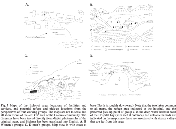
Figure in a journal article
Maps of the Lolowai area, locations of facilities and services, and potential reuge and pick-up locations form the perspectives of four working groups.
Figure 7 in: Cronin, S.J., Gaylord, D.R., Charley, D., Alloway, B.V., Wallez, S., & Esau, J.W. (2004). Participatory methods of incorporating scientific with traditional knowledge for volcanic hazard management on Ambae Island, Vanuatu. Bulletin of volcanology, 66(7), p. 652-668. https://doi.org/10.1007/s00445-004-0347-9
Official, Insert/poster-size map with accompanying report
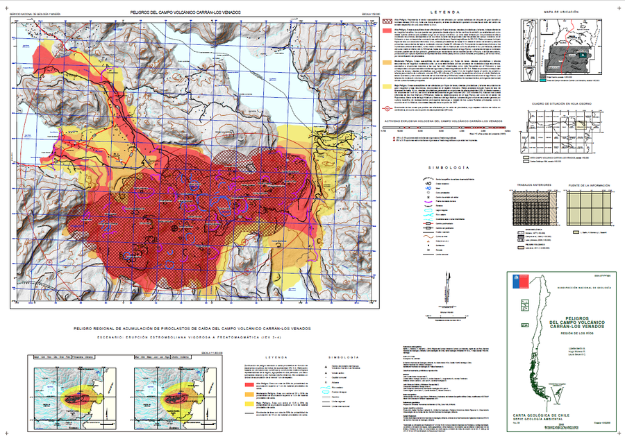
Peligros del Campo Volcánico Carrán-Los Venados
(Hazards of the Carrán-Los Venados Volcanic Field)
Bertin, L., Moreno, H., & Becerril, L. (2018). Peligros del Campo Volcánico Carrán-Los Venados, región de Los Ríos. Servicio Nacional de Geología y Minería (SERNAGEOMIN), Carta Geológica de Chile, Serie Geología Ambiental 33: 52 p., 1 mapa escala 1:50.000. Santiago.
Official, Map sheet or poster
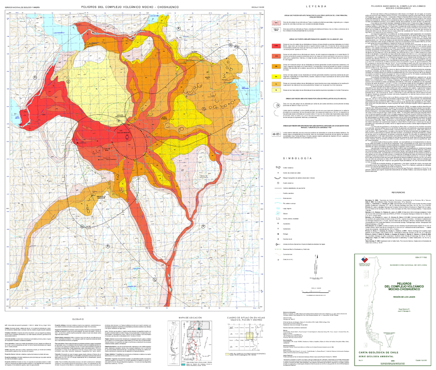
Peligros del Complejo Volcánico Mocho-Choshuenco
(Hazards of the Mocho-Choshuenco Volcanic Complex)
Moreno, H. & Naranjo, J. A. (2006). Peligros del Complejo Volcánico Mocho-Choshuenco, Región de Los Lagos. Servicio Nacional de Geología y Minería (SERNAGEOMIN), Carta Geologica de Chile, Serie Geologia Ambiental, No. 9, 1 mapa escala 1:50,000. Santiago.
Official, Map sheet or poster
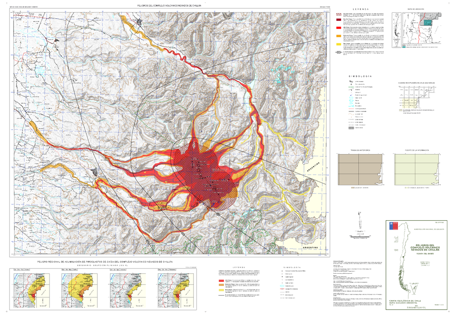
Peligros del Complejo Volcánico Nevados de Chillán
(Hazards of the Nevados de Chillán Volcanic Complex)
Orozco, G., Jara, G., & Bertin, D. (2016). Peligros del Complejo Volcánico Nevados de Chillán, Región del Biobío. Servicio Nacional de Geología y Minería (SERNAGEOMIN), Carta Geológica de Chile, Serie Geología Ambiental 28: 34p., 1 mapa escala 1:75.000. Santiago.
Official, Insert/poster-size map with accompanying report
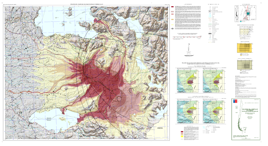
Peligros del Complejo Volcánico Puyehue-Cordón Caulle, regiones de Los Ríos y Los Lagos
(Hazards of the Puyehue-Cordón Caulle Volcanic Complex, Los Ríos and Los Lagos Regions)
Toloza, V., Jorquera, C., Mella, M., Gho, R. (2020). Peligros del Complejo Volcánico Puyehue-Cordón Caulle, regiones de Los Ríos y Los Lagos. Servicio Nacional de Geología y Minería, Carta Geológica de Chile, Serie Geología Ambiental 36, 63 p., 1 mapa escala 1:75.000. Santiago.
Official, Map sheet or poster
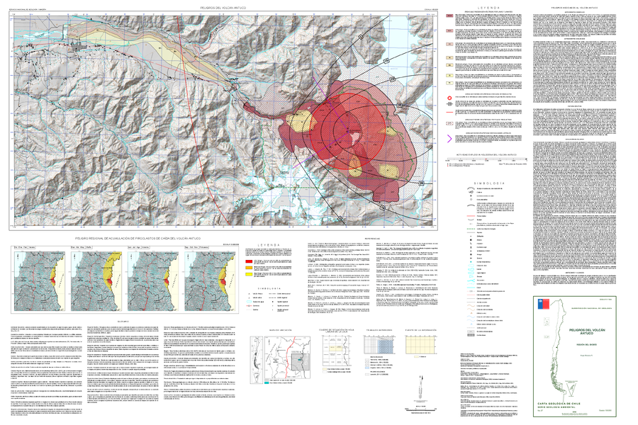
Peligros del Volcán Antuco
(Hazards of Antuco Volcano)
Moreno, H. (2016). Peligros del Volcán Antuco, Región del Biobío. Servicio Nacional de Geología y Minería, Carta Geológica de Chile, Serie de Geología Ambiental 27: 1 mapa escala 1:50.000. Santiago.
Official, Map sheet or poster
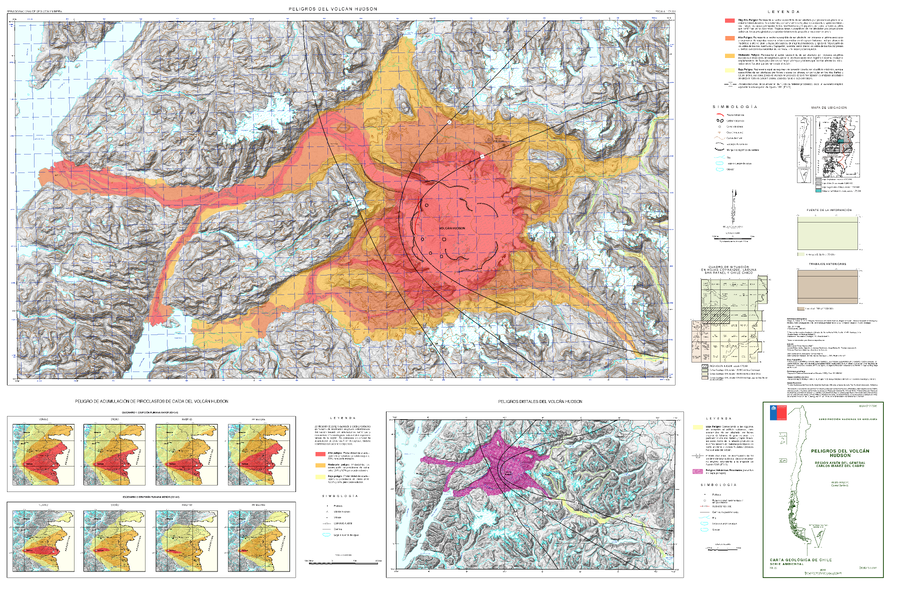
Peligros del Volcán Hudson
(Hazards of Hudson Volcano)
Amigo, A. & Bertin, D. (2014). Peligros del volcán Hudson, Región Aysén del General Carlos Ibáñez del Campo. Servicio Nacional de Geología y Minería (SERNAGEOMIN), Carta Geológica de Chile, Serie Geología Ambiental, 1 mapa escala 1:75.000. Santiago.
Official, Map sheet or poster
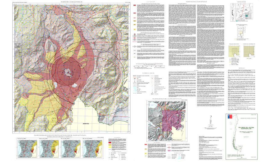
Peligros del Volcán Quetrupillán
(Hazards of the Quetrupillán Volcano)
Moreno, H. (2017). Peligros del Volcán Quetrupillán, Regiones de La Araucanía y de Los Ríos. Servicio Nacional de Geología y Minería, Carta Geológica de Chile, Serie Geología Ambiental 30:1, Escala 1:50.000. Santiago.
Official, Map sheet or poster
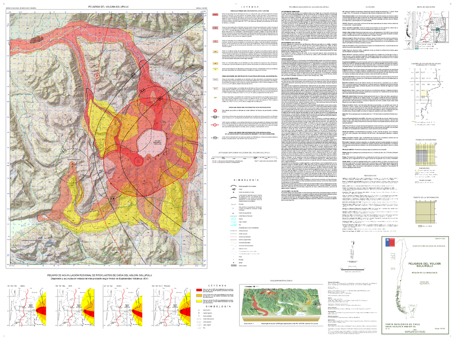
Peligros del Volcán Sollipulli
(Hazards of San Pedro Volcano)
Jara, C. & Moreno, H. (2014). Peligros del Volcán Sollipulli, Región de La Araucanía. Servicio Nacional de Geología y Minería (SERNAGEOMIN), Carta Geológica de Chile, Serie Geología Ambiental No. 18, mapa escala 1:50.000. Santiago.
Official, Insert/poster-size map with accompanying report
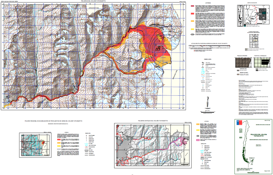
Peligros del Volcán Tupungatito
(Hazards of Tupungatito Volcano)
Flores, F. & Jara, G. (2018). Peligros volcán Tupungatito, Región Metropolitana de Santiago. Servicio Nacional de Geología y Minería (SERNAGEOMIN), Carta Geológica de Chile, Serie Geología Ambiental 32: 35 p., mapa escala 1:50.000. Santiago.